

A small moment most of us have experienced:
two packages are ordered on the same day.
One arrives tomorrow morning.
The other appears somewhere in a tracking system that seems to exist in an alternate universe — moving slowly from one warehouse to another, updating once every twelve hours with the vague promise of “in transit.”
We often blame the courier company. Sometimes we blame bad luck.
But behind that simple difference in delivery time lies one of the most sophisticated technological systems operating quietly in the modern economy.
Speed in logistics is rarely about trucks.
It is about data, geography, and decision-making at scale.
Logistics Is No Longer About Distance
For most of the twentieth century, delivery speed was mainly a question of physical distance. The closer a warehouse was to a customer, the faster the delivery.
That assumption no longer holds.
Today, a package might travel hundreds of kilometers yet arrive faster than one shipped from the same city. The reason is that modern logistics networks operate less like straight lines and more like dynamic systems reacting to real-time conditions.
Traffic congestion.
Warehouse capacity.
Regional demand patterns.
Weather conditions.
Road restrictions.
Fuel efficiency models.
All of these variables are processed continuously.
In other words, a delivery company isn’t simply moving parcels. It is constantly solving a complex optimization problem.

The Algorithms Behind the Trucks
When people imagine logistics technology, they often picture scanners and tracking numbers. The real innovation is much deeper.
Large delivery networks rely on algorithms that determine:
- Which warehouse a product should leave from?
- Which sorting hub it should pass through?
- Which vehicle will carry it?
- What route that vehicle should take?
Every decision must minimize time, cost, and congestion simultaneously.
Amazon alone processes millions of route calculations every hour. These calculations combine historical demand patterns with real-time signals from thousands of vehicles on the road.
The result is something closer to an evolving mathematical model of movement than a traditional delivery system.
The Role of Spatial Intelligence
This is where spatial intelligence enters the picture.
Spatial intelligence is the ability to analyze and understand data through location — not simply where something is, but how movement behaves across geography.
In logistics, this means systems that can interpret:
- Urban density patterns
- Traffic flow clusters
- Delivery demand heatmaps
- Road accessibility constraints
- Neighborhood-level order behavior
When these spatial layers are combined with machine learning models, companies can predict where deliveries will likely occur before the orders are even placed.
This is why some companies seem almost psychic.
The product you ordered last night might already have been moved closer to your neighborhood days earlier because an algorithm anticipated demand in your area.ws. Trust weakens. Institutions struggle to maintain credibility. And that uncertainty becomes a strategic advantage for whoever is shaping the narrative.
The battlefield, in this sense, extends far beyond borders. It enters smartphones, timelines, and conversations.
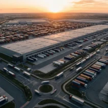
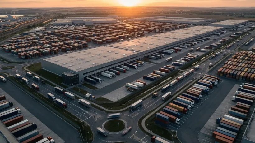
Warehouses Are No Longer Storage Spaces
Another transformation is happening inside distribution centers.
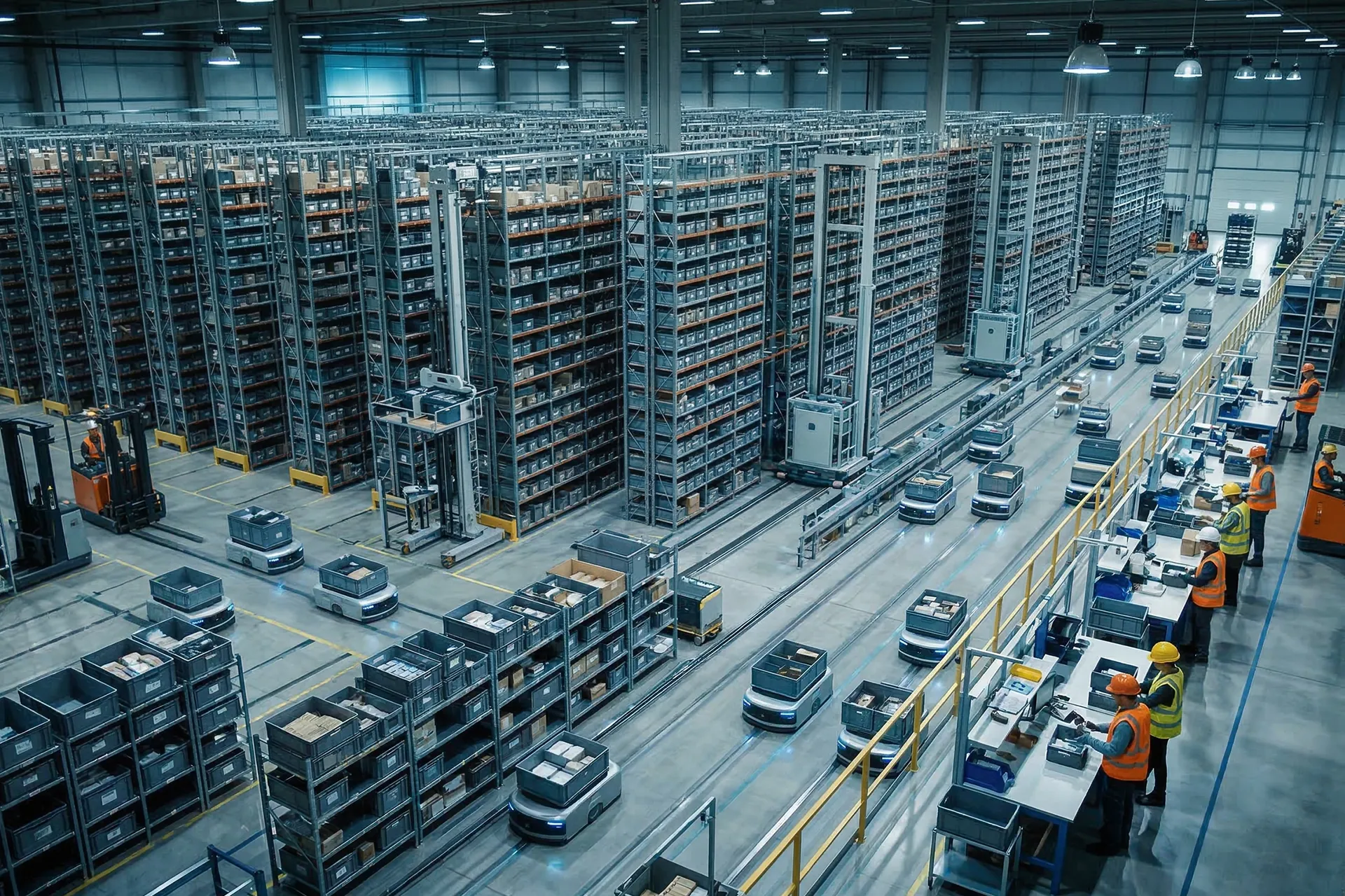
Traditional warehouses stored products. Modern fulfillment centers act more like logistical computers.
Inventory placement is constantly recalculated.
Items that are ordered frequently in certain regions are positioned closer to exit points. Others are dynamically relocated based on predicted demand patterns.
Even the walking paths of warehouse workers are optimized using spatial analysis. Reducing average movement distance by a few meters per order may sound trivial — but across millions of orders, it can reduce delivery times dramatically.
The warehouse is no longer static infrastructure.
It is part of a continuously recalculating spatial system.
The Last Mile Is the Hardest Problem
Despite all this technology, the final stage of delivery — known as the last mile — remains the most difficult.
Urban environments are unpredictable.
Parking limitations.
Building access restrictions.
Elevators.
Traffic bottlenecks.
This final segment can represent more than 50% of the total delivery cost.
Companies that outperform competitors often do so because they treat the last mile not as a simple route, but as a real-time geographic puzzle.
Advanced delivery platforms constantly adjust driver routes based on changing city conditions. Some systems even reassign packages mid-route if another driver becomes geographically closer.
This level of flexibility depends heavily on high-quality spatial data.

Speed Is Ultimately a Data Problem
When customers see a fast delivery, they see efficiency.
But behind that efficiency lies an enormous invisible infrastructure:
Real-time vehicle telemetry
Geospatial data layers
Predictive demand models
Routing optimization algorithms
Warehouse robotics
The delivery truck is simply the final step of a much larger digital system.
In this sense, logistics companies are no longer just transportation providers.
They are data companies that happen to move physical objects.
The Geography of the Future
As cities grow and online commerce expands, logistics networks will become even more dependent on spatial intelligence.
Drones, autonomous delivery vehicles, and smart urban infrastructure will all rely on location-aware data systems capable of interpreting the physical world in real time.
The companies that master this layer of intelligence will not simply deliver faster.
They will reshape how goods move through modern economies.
Advanced logistics and operational systems depend on scalable data architectures capable of processing large volumes of geospatial information. At AMHH, our Big Data Solutions help organizations transform location-based data into actionable insights and operational efficiency.